Oicle Land Surveying, PC is a New York Licensed Land Surveying company that is a trusted provider of comprehensive land surveying services. We help homeowners, developers, engineers, and municipalities navigate real estate, construction, and development projects with accuracy, advanced technology, and dependable local expertise. We provide the surveying services to the counties of Dutchess, Orange, Putnam, Ulster, Westchester, and more.


Surveying Services
Oicle Land Surveying provides clear, reliable, and precise surveying services for residential, commercial, and municipal clients. Our services include:
Residential Title Surveys
ALTA/ACSM Land Title Surveys
Subdivisions and Topographic Surveys for design work
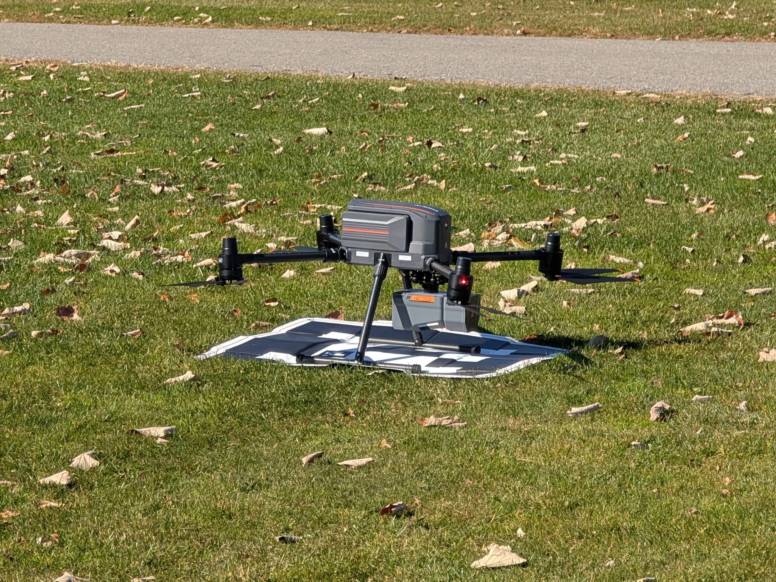
High-resolution aerial drone surveys with 3D LiDAR scanning
Flood Elevation Certificates
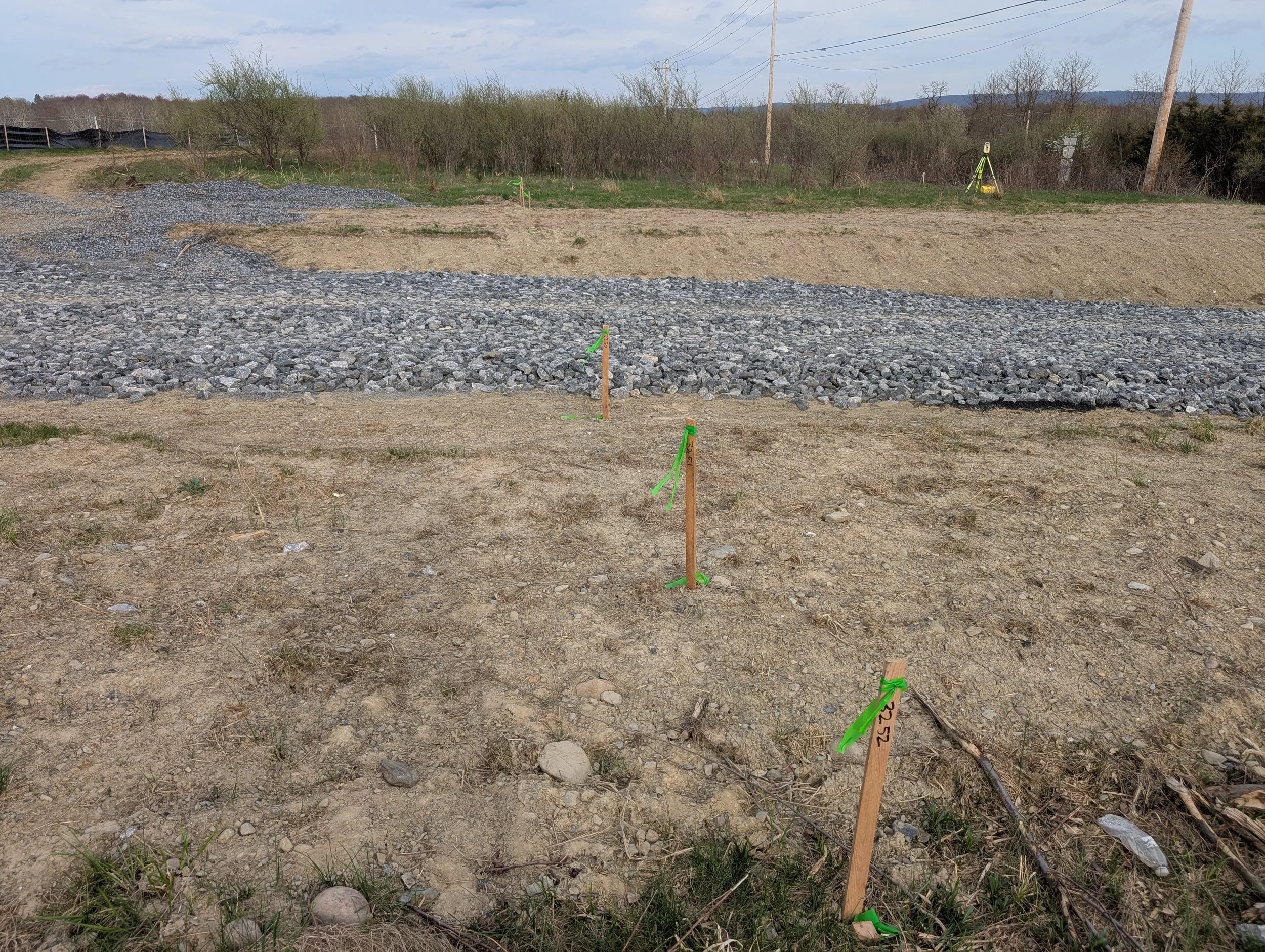
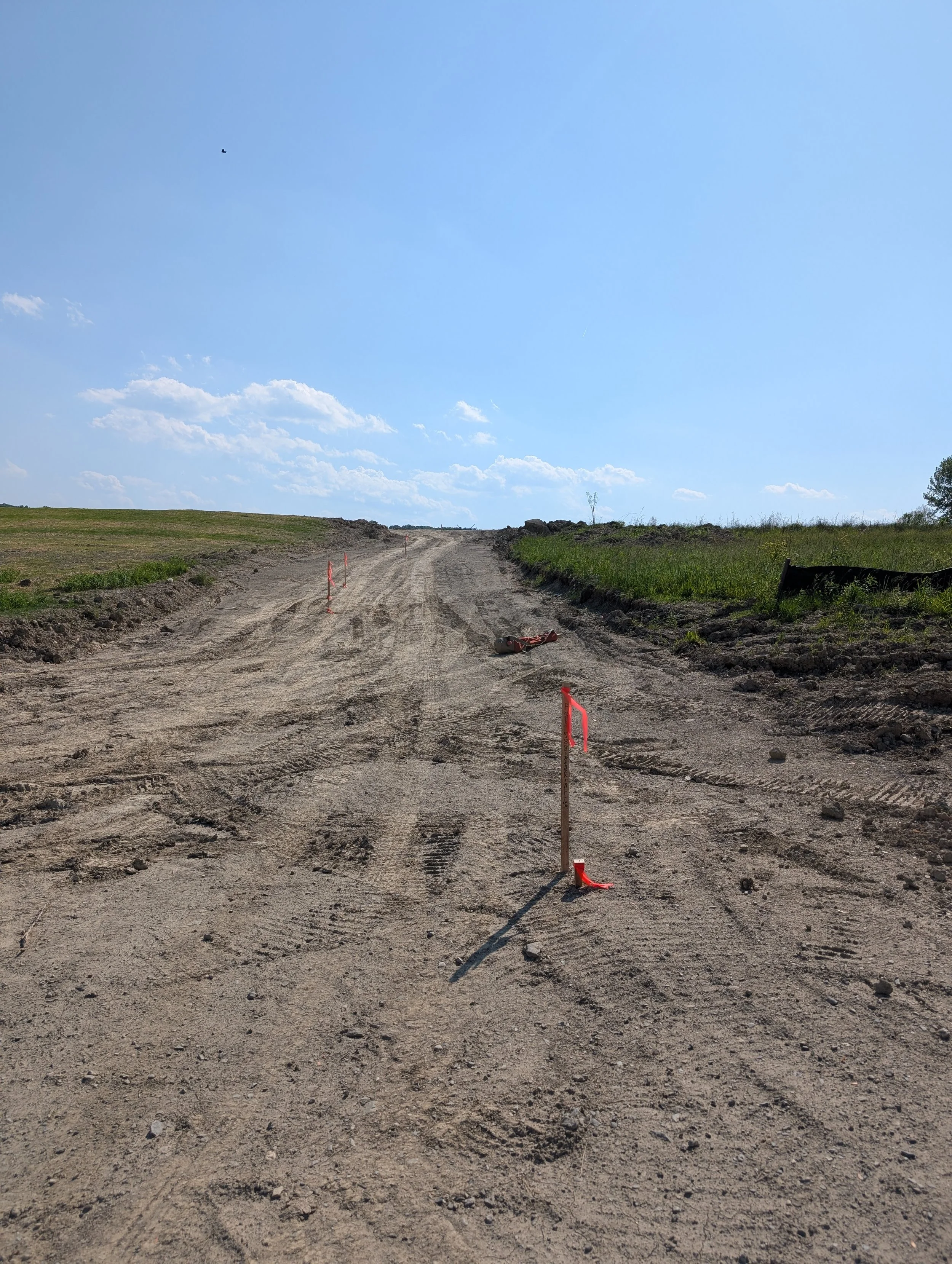
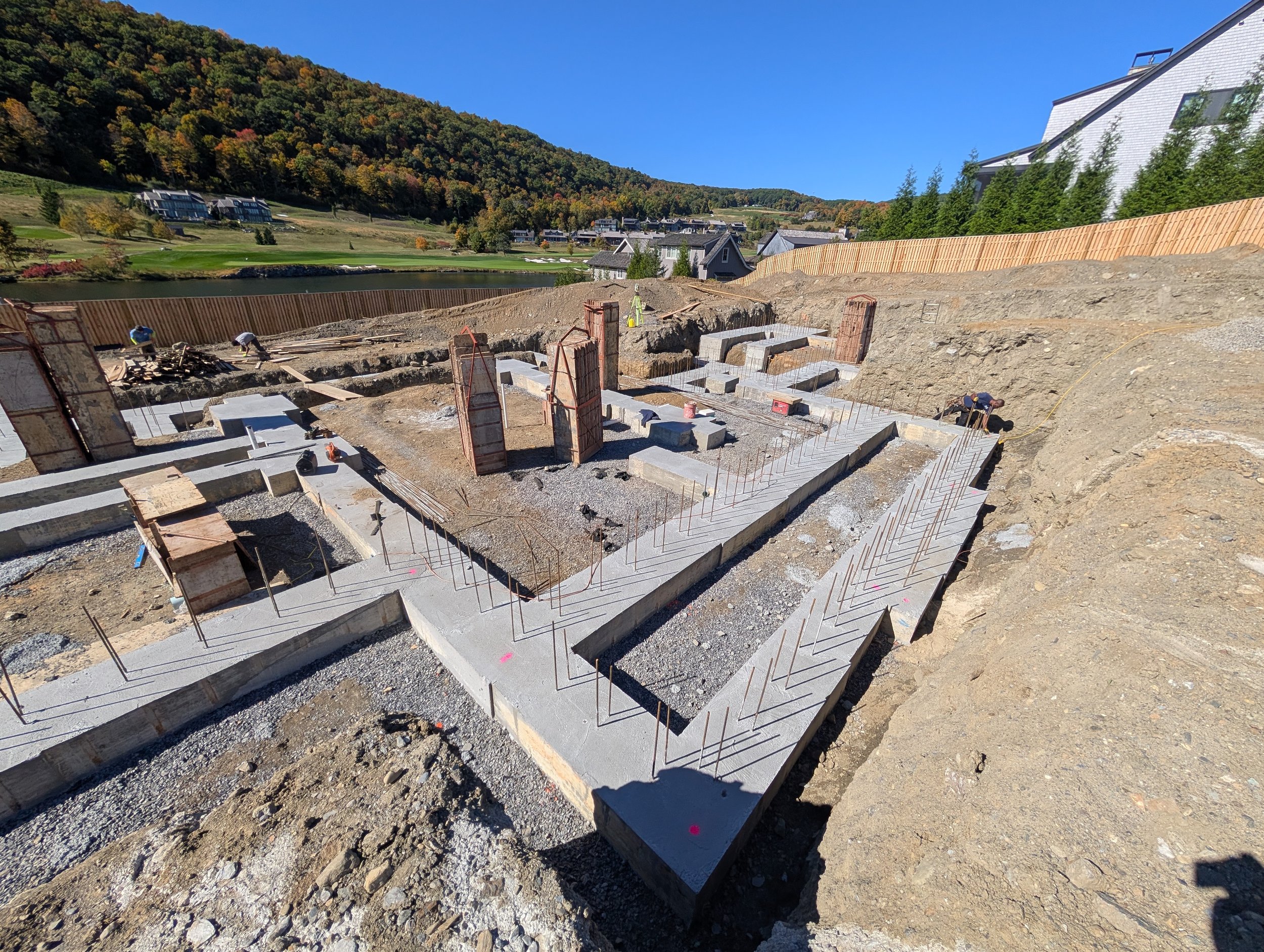
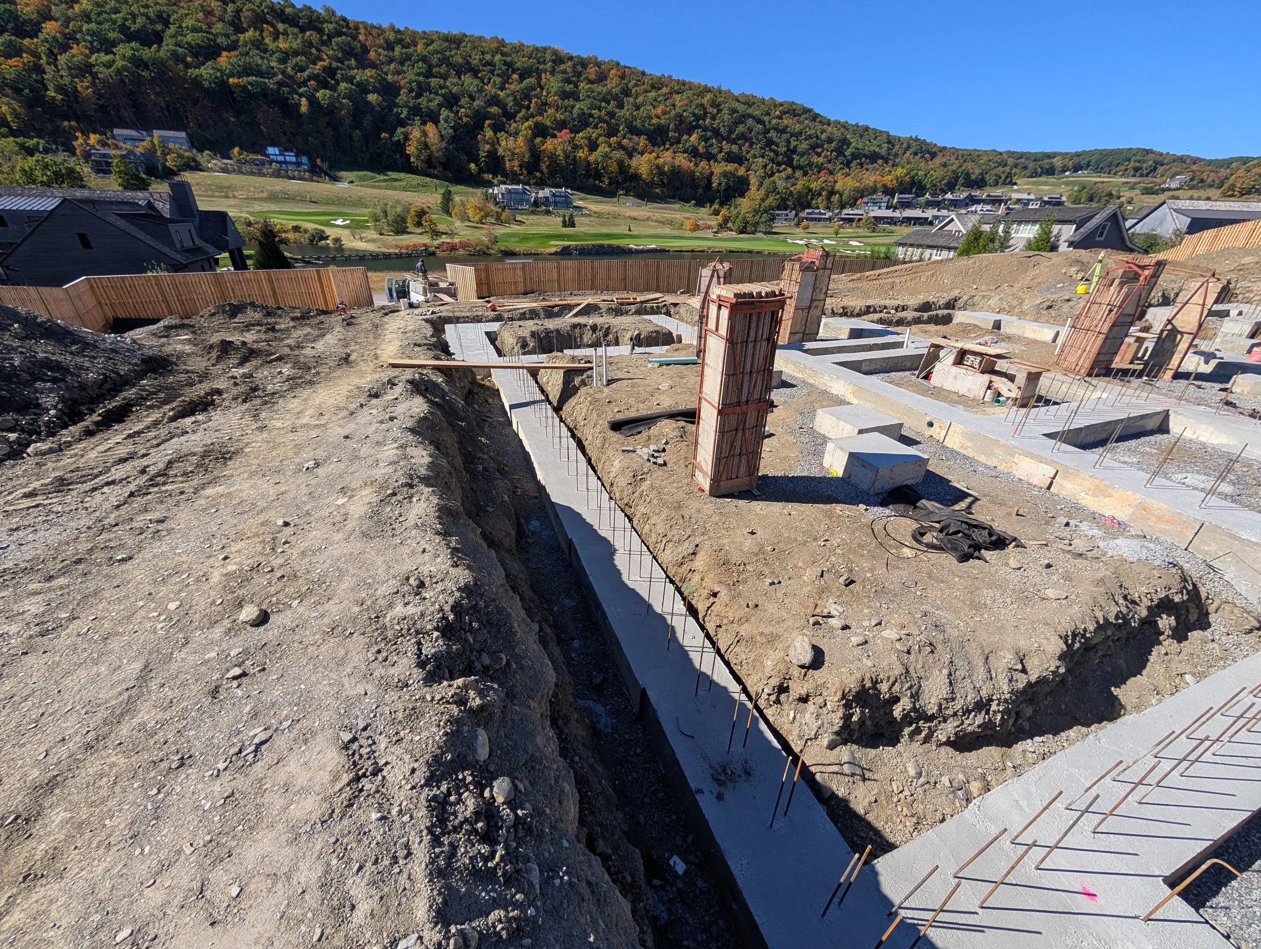
Construction Layout
Control Surveys
Utility Surveys
Municipal Surveys
Wetland Mapping
Experience and Technology
We combine decades of field experience with advanced technology, including modern GPS, Robotic Total Stations, and LiDAR Drone mapping—to deliver accurate data on time and on budget.
Support for Your Project
Our high-precision insights help developers, engineers, architects, and planners mitigate risk and move projects forward. Whether you are defining property boundaries, planning a subdivision, or breaking ground on a major infrastructure project, our team helps you build on a foundation of accuracy and precision.
UAS (Unmanned Aerial System) LiDAR scanning